All taxes included. Free worldwide shipping. No hidden fees.
Couldn't load pickup availability
Quantity
Free Worldwide Shipping
Ships in 2–5 Business Days
14-Day Returns
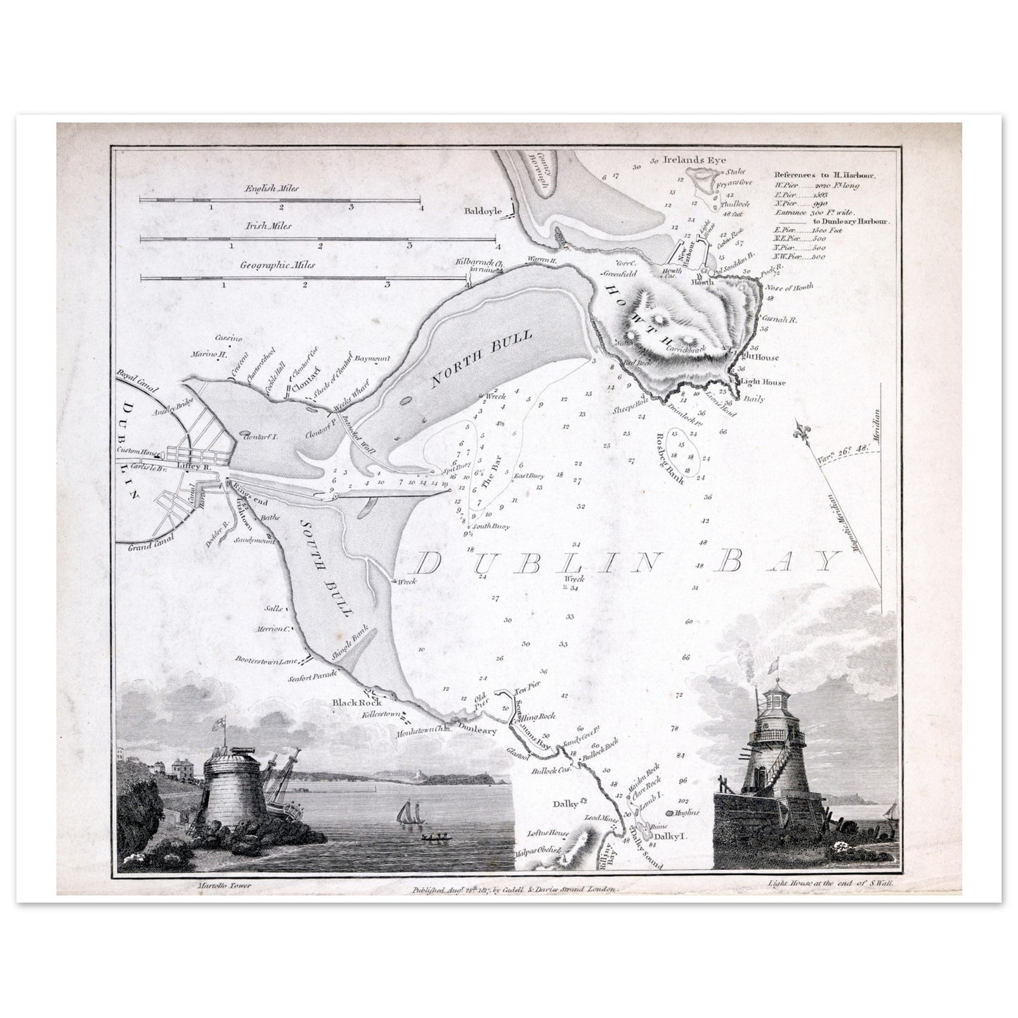
Soundings, sandbanks and the shipping channel into Dublin, with vignettes of the Seapoint Martello Tower and Poolbeg Lighthouse drawn into the margins — the bay as sailors needed to know it.
Meticulously recreated from historical nautical charts, this print showcases intricate details of Dublin Bay's waterways, along with the picturesque silhouettes of its famed landmarks.
National Gallery of Ireland Collection.
Sizes & Format
30 × 30 cm / 12 × 12″
50 × 50 cm / 20 × 20″
70 × 70 cm / 28 × 28″
Available unframed
Print & Frame Details
Archival matte paper, 250gsm (110lb), acid-free and FSC-certified — off-white, uncoated. Unframed prints up to A4 ship flat; larger sizes ship rolled in a protective tube.
Free Worldwide Shipping
Every order ships free, made to order and delivered from the hub closest to you: Ireland 3–7 business days · UK 4–8 · USA 5–10 · Canada 6–12 · Australia 7–14.