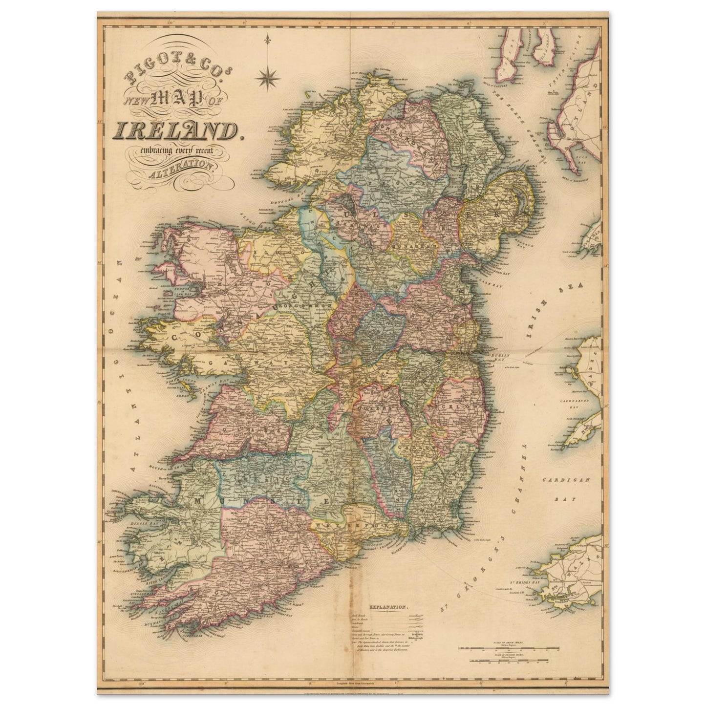
A detailed reference map of Ireland — county boundaries, coastline and place names laid out with the kind of precision that made maps like this useful long after they stopped being new.
About this work
This is a detailed reference map of Ireland, showing the coastline, the thirty-two counties and their boundaries, the four provinces of Ulster, Leinster, Munster and Connacht, and place names across the whole island, north and south. It is drawn in the manner of the nineteenth-century county atlases, where the value was in the density of the naming rather than in decoration. This print is an open edition, made to order and shipped worldwide.
Sizes & Format
30 × 40 cm / 12 × 16″
45 × 60 cm / 18 × 24″
60 × 80 cm / 24 × 32″
75 × 100 cm / 30 × 40″
Unframed in every size; framed in black, white or wood at 30 × 40 cm, 45 × 60 cm and 60 × 80 cm
Print & Frame Details
Archival matte paper, 250gsm (110lb), acid-free and FSC-certified — off-white, uncoated. Framed prints: solid oak or ash wood frame, 20mm thick, with shatterproof protective glazing. Ready to hang, hanging kit included. Unframed prints up to A4 ship flat; larger sizes ship rolled in a protective tube.
Free Worldwide Shipping
Framed prints are packed with protective corners and wrap, boxed with reinforced edges, and braced with internal supports for extra rigidity (max 3 frames per package). Every order ships free, made to order and delivered from the hub closest to you: Ireland 3–7 business days · UK 4–8 · USA 5–10 · Canada 6–12 · Australia 7–14.